
Zoning, entitlements, fees, and a source-cited due-diligence report on any parcel. Do the research in minutes, not weeks, and reach a confident go/no-go before you tie up a dollar.
You found the site. Now the clock starts, and your whole pro forma rides on one question: can you actually build what you underwrote? Answering it used to mean weeks of consultant back-and-forth while capital sits at risk.
Days lost to manual zoning research before feasibility is even established
Entitlement surprises that surface late, delaying timelines and burning capital
Fee structures buried in municipal code, with no clear project picture
Due diligence that takes weeks and costs tens of thousands to produce
ChatAEC pulls the full regulatory picture on a site straight from city records, every answer cited to its source. It ships an answer, not another dashboard. The AI-native research does the grunt work in minutes, so you reach a confident go or no-go before the competition has finished theirs.
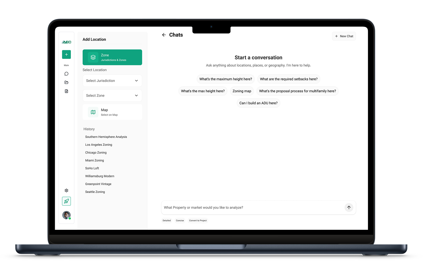
ChatAEC has significantly reduced the time it takes us to understand zoning constraints on a site. What used to take hours of manual research, including pulling jurisdiction-specific zoning codes, checking overlays, and confirming setbacks and density limits, now takes minutes. We can advance feasibility discussions faster, present options to clients with confidence, and move on deals before the competition even finishes their research.
Bill Finch, Managing Partner, Unified CRE, LLC
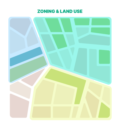
Search any parcel by APN, address, or map pin and get the full picture instantly. An interactive map with zoning, parcel, FEMA, and utility layers, plus buffer analysis and deep parcel intelligence, so you screen a site for fit in minutes.
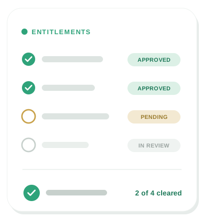
Know the approvals your project needs, and what they will cost, before you engage a consultant. Submittal requirements, process timelines, and the development and impact fees buried in municipal code, all in one place.
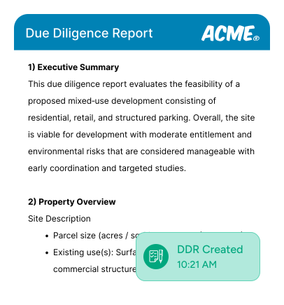
Evaluate a whole block, not one lot at a time. Merge multiple parcels into one assembled site, compare sites side by side across different cities, then export a source-cited due-diligence report. Preview it first and only pay for what you keep.
You absolutely can, and many people do. But here’s what you’ll run into:
General LLMs don’t have current, city-specific data.
ChatGPT and Claude have knowledge cutoffs and don’t automatically pull live zoning codes, planned overlays, or general plan designations. You’d need to manually feed them the right documents, and even then you’re often working with outdated county-level data instead of current city regulations.
You have to do the research before you can ask the question.
With a general LLM, you still need to track down zoning codes, municipal codes, and planning documents yourself. ChatAEC already has that data indexed and ready — you just ask the question and get an answer based on the most current city-level information.
No built-in AEC workflows.
General LLMs are powerful, but they aren’t designed around the workflows of architects, engineers, developers, and planners. ChatAEC is purpose-built for due diligence, feasibility analysis, zoning research, and permit planning, so outputs are structured for how you actually work.
Speed and reliability matter.
When you’re evaluating a site or preparing a submittal, you need answers fast and you need them to be right. ChatAEC is optimized for this — pulling the right data, summarizing it accurately, and delivering it in a format you can act on immediately.Think of it this way: You could use a general LLM the same way you could use Google. But just like you wouldn’t piece together a zoning analysis from 15 different search results, you don’t want to spend time prompting and re-prompting a general AI when you could get a complete, accurate answer in seconds.
You can locate parcels by address, APN, or coordinates. You can also review our maps and drop a pin. Sites can be found using zoning maps, overlay maps, or general plan maps.
There really aren’t constraints during early-stage design and development research, but most questions fall into a few common buckets:
What’s allowed? (zoning, uses, density)
What are the constraints? (setbacks, overlays, environmental)
What’s the process? (permits, timelines, fees)
Is this feasible? (can I build X on Y parcel?)
Give me everything. (due diligence reports, summaries)
ChatAEC interprets zoning codes, land-use regulations, and development standards for any parcel in its coverage area. You can ask about zoning designations, permitted uses, height and density limits, setbacks, parking requirements, overlay zones, environmental constraints, and preliminary site feasibility like allowable floor area and buildable area. It pulls together everything you’d normally have to dig through multiple documents to find — and gives you a clear answer in seconds.
We go straight to the source, the cities themselves. ChatAEC pulls zoning codes, land-use regulations, general plan designations, and overlay information directly from municipal sources, not outdated county databases or third-party aggregators. That means you're working with the most current, accurate, city-level data available.