
Research any parcel in minutes, and send a professional entitlement summary with every listing. You win on what you know, not on how fast you can call someone back.
The slow part of any deal is always the same: getting an accurate read on what a parcel actually allows. That used to mean calling zoning attorneys, pulling public records, and waiting on the bureaucracy, a day or two before you could even talk it through with your client.
Clients expect zoning and constraint answers faster than you can get them
Comparing multiple sites at once is a research bottleneck that stalls deals
Regulatory research takes specialized knowledge most desks don't have in-house
Professional due diligence means slow, costly third-party consultants
ChatAEC puts city-sourced data, side-by-side comparison, and client-ready reports in one place, enough that a full entitlement summary can go out with every listing you bring to market.
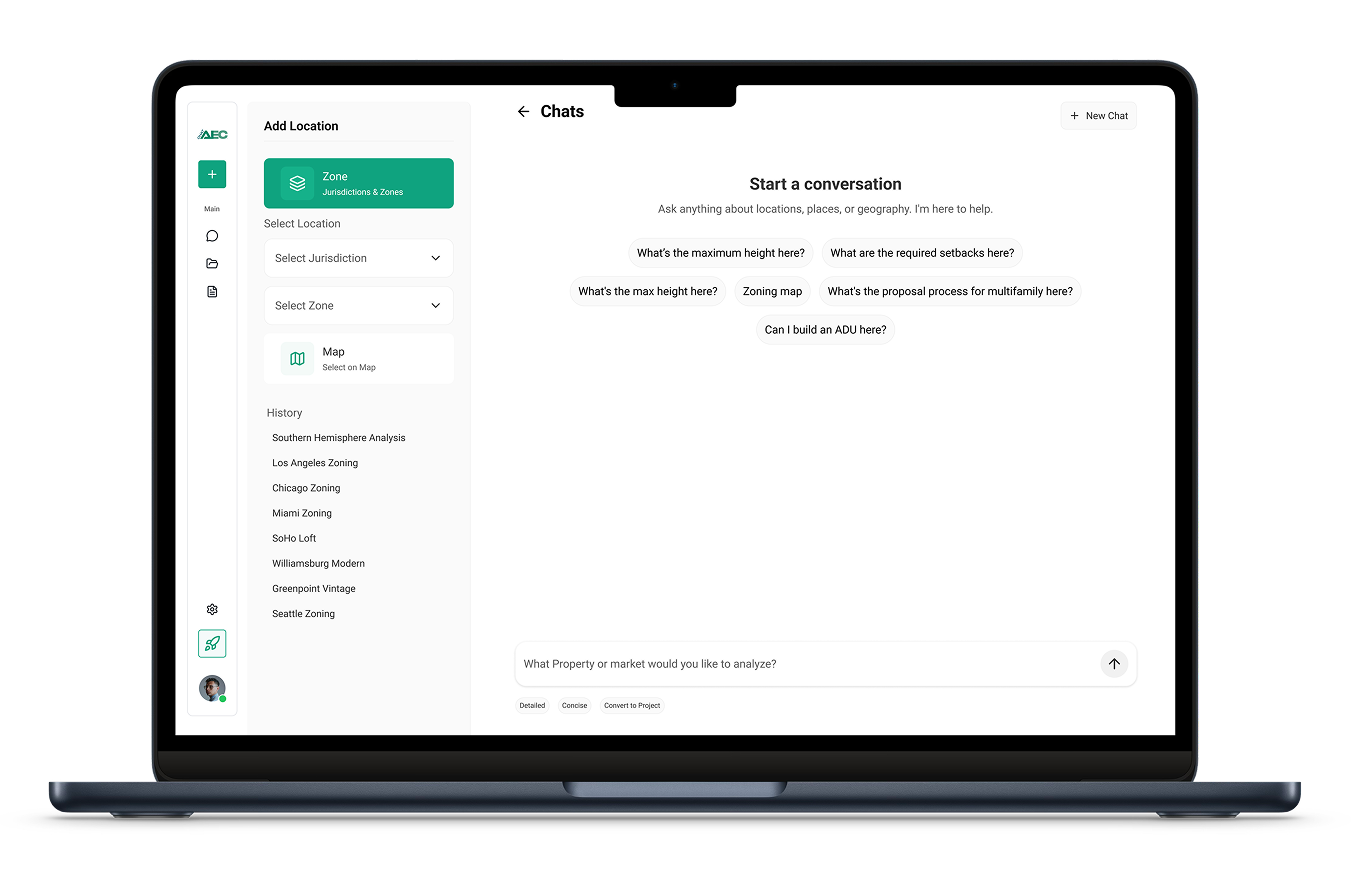
ChatAEC helps us with our early site research by making zoning and land-use constraints easier to interpret. It's become part of how we evaluate sites for clients.
John Werstler SIOR, Executive Vice President, CBRE
On a 16-acre Phoenix deal, entitlement research went from a two-day phone tree to a two-minute answer.
Read the full CBRE story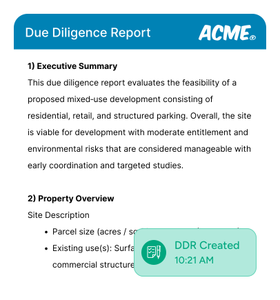
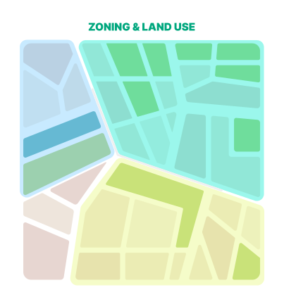
Know the constraints. Know the potential. Run a complete zoning and land-use analysis on any parcel before your client tour. Before they ask.
Research and compare multiple sites at once. Structured, exportable reports. Professional presentation. Built in minutes, not days.
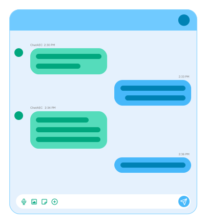
Verify permitted uses, density, and constraints against your client's criteria on the spot. Stop spending time on sites that don't qualify.
You absolutely can, and many people do. But here’s what you’ll run into:
General LLMs don’t have current, city-specific data.
ChatGPT and Claude have knowledge cutoffs and don’t automatically pull live zoning codes, planned overlays, or general plan designations. You’d need to manually feed them the right documents, and even then you’re often working with outdated county-level data instead of current city regulations.
You have to do the research before you can ask the question.
With a general LLM, you still need to track down zoning codes, municipal codes, and planning documents yourself. ChatAEC already has that data indexed and ready — you just ask the question and get an answer based on the most current city-level information.
No built-in AEC workflows.
General LLMs are powerful, but they aren’t designed around the workflows of architects, engineers, developers, and planners. ChatAEC is purpose-built for due diligence, feasibility analysis, zoning research, and permit planning, so outputs are structured for how you actually work.
Speed and reliability matter.
When you’re evaluating a site or preparing a submittal, you need answers fast and you need them to be right. ChatAEC is optimized for this — pulling the right data, summarizing it accurately, and delivering it in a format you can act on immediately.Think of it this way: You could use a general LLM the same way you could use Google. But just like you wouldn’t piece together a zoning analysis from 15 different search results, you don’t want to spend time prompting and re-prompting a general AI when you could get a complete, accurate answer in seconds.
You can locate parcels by address, APN, or coordinates. You can also review our maps and drop a pin. Sites can be found using zoning maps, overlay maps, or general plan maps.
There really aren’t constraints during early-stage design and development research, but most questions fall into a few common buckets:
What’s allowed? (zoning, uses, density)
What are the constraints? (setbacks, overlays, environmental)
What’s the process? (permits, timelines, fees)
Is this feasible? (can I build X on Y parcel?)
Give me everything. (due diligence reports, summaries)
ChatAEC interprets zoning codes, land-use regulations, and development standards for any parcel in its coverage area. You can ask about zoning designations, permitted uses, height and density limits, setbacks, parking requirements, overlay zones, environmental constraints, and preliminary site feasibility like allowable floor area and buildable area. It pulls together everything you’d normally have to dig through multiple documents to find — and gives you a clear answer in seconds.
We go straight to the source, the cities themselves. ChatAEC pulls zoning codes, land-use regulations, general plan designations, and overlay information directly from municipal sources, not outdated county databases or third-party aggregators. That means you're working with the most current, accurate, city-level data available.